Indian electors can now locate their polling stations and access other electoral information online using Google Maps, an official said here Saturday.
"Electors can now locate online the polling stations where they are supposed to cast their vote. They can do so by visiting the Election Commission or state chief electoral officer's website," Tripura Chief Electoral Officer Ashutosh Jindal said.
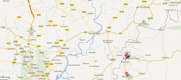
He said: "Google Maps would automatically provide the exact location of the polling stations the voters are looking for."
The official said polling station locations in the National Capital Territory of Delhi, Himachal Pradesh, Gujarat, Dadra and Nagar Haveli, Daman and Diu, Sikkim, Mizoram, Meghalaya and Tripura have already been plotted on Google Maps.
"Polling stations of the rest of the country are being plotted gradually and will be available very soon on the websites."
Users can select their district, constituency and polling station names from drop down lists to see polling station locations of the selected area.
Users can even activate the satellite image layer and even see the polling station and the roads leading to it.
The electoral rolls, names and mobile phone numbers of the chief electoral officer, district election officer, electoral registration officer and booth level officer can also be known from the Google Map.
Earlier, electors had to visit various offices to get the electoral information and details about the officials involved in the election process.
"The basic electoral information now can be known within a minute. It is hassle free and it's for everyone to use," Jindal said.
No comments:
Post a Comment